

Unfortunately, my volcano fetish was somewhat neglected on the Panamericana II due to the wind enthusiasm of my fellow travellers. In Ecuador, this can now be easily corrected: out of 84 volcanoes, 25 are active, and the Rucu Pichincha, at 4,650 metres, is located right on the outskirts of Quito. Take the bus to the gondola and climb up to 3,900 metres for little money.
A high-alpine friend reported bad altitude sickness. There is no water for sale at either the valley or mountain station – and the forecast of heavy thunderstorms seems to be correct for once today. Some time ago, two climbers lost their way in the clouds around the summit. They were only found dead.
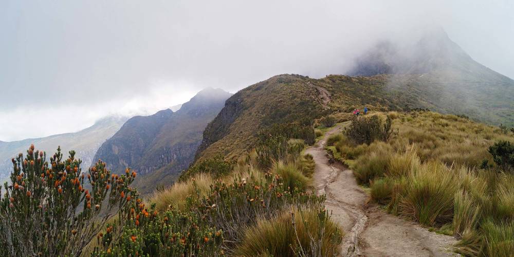
Today too, the summit of the Rucu Pichincha volcano lies in clouds. But the path over 750 metres in altitude in front of it is mostly clear and relatively easy. I set off without water with a couple of young men from Munich who have obviously had a few too many coca leaves. In no time at all, they are steaming down towards the clouds at a crazy pace, dragging small clouds of dust behind them.
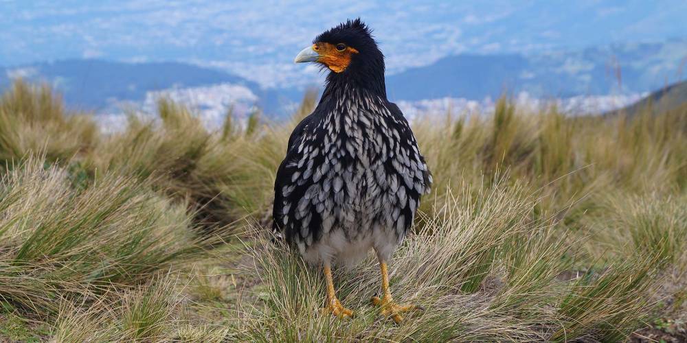
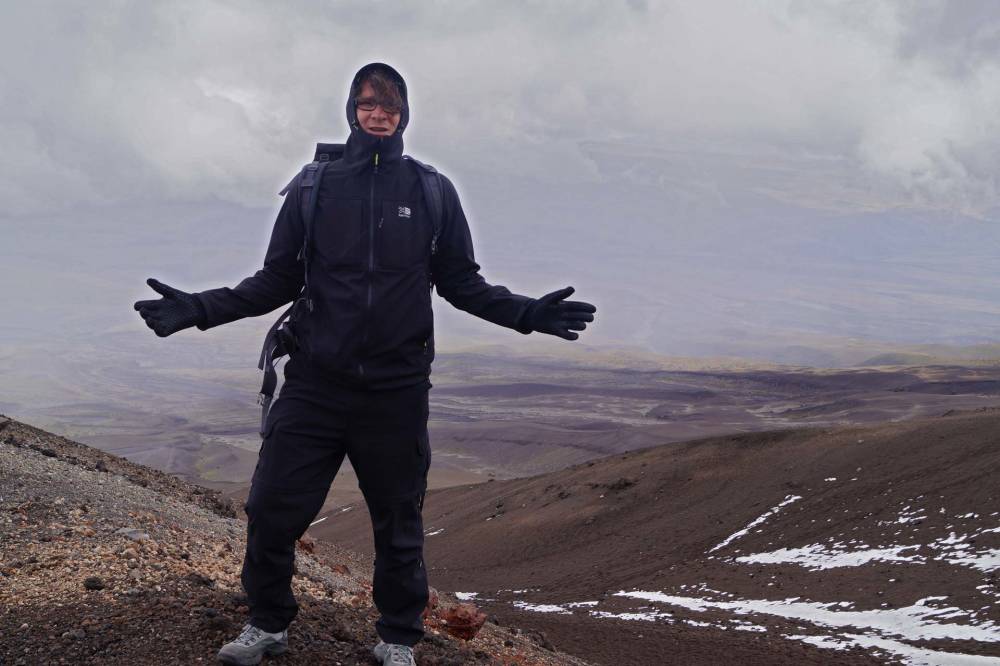
From around 4,100 metres upwards, the altitude is increasingly getting to me. My steps get smaller and smaller. During my ascent, a narcissistically inclined caracara, a cheeky little condor species, follows me the whole time. It lands right at my feet several times and poses for minutes with its head turning left and right for the best photos.
At 4,400 metres, my stride length drops to less than half a foot after two hours. From above, descending clouds press down on the summit of Rucu Pichincha, from below I am squeezed in by the increasing need for air. I am satisfied and turn back. A yodelling kite knee reminds me of my Bavarian genes. The way back is long. Only in the evening do I realise how exhausted I am from the altitude. During a hellishly loud thunderstorm, I fall asleep waiting for dinner in the El Cafecito restaurant.
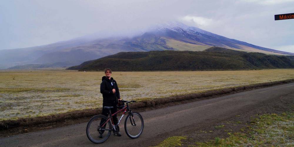
The next day, I join a guided tour of Cotopaxi, the highest active volcano in the world at 5,900 metres. In this case, active is relative. In the last 300 years, it has demonstrated an excellent sense of rhythm with 50 regular eruptions every year. It has been overdue for some time, at least if the 8 km high ash cloud of 2015 is anything to go by.
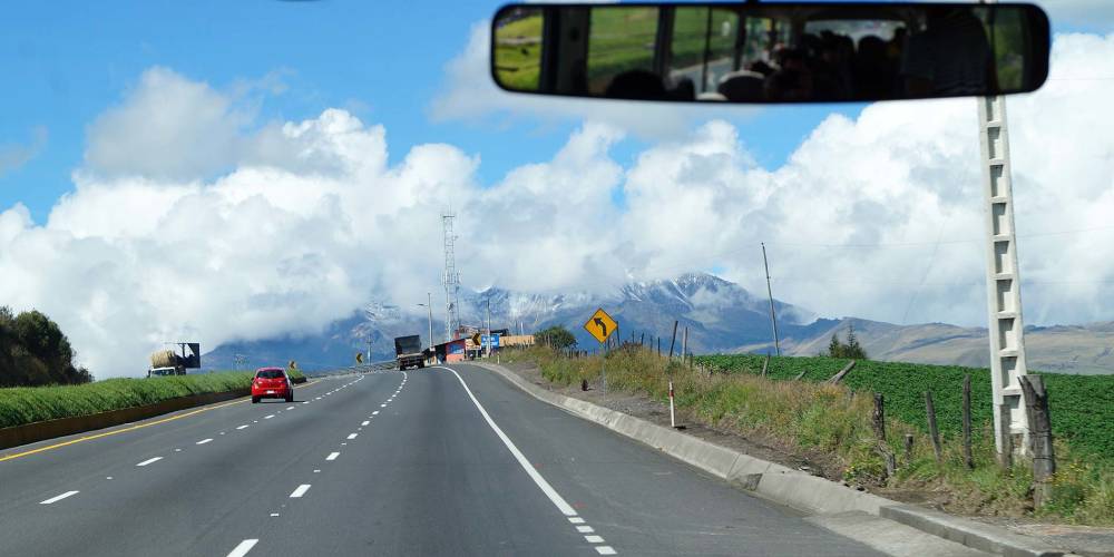
Early in the morning, a colourful, international but unfortunately also hummeldumb group travels south by bus for a good two hours. Tommy Jaud would not only have been delighted with the Indian man swinging a selfie stick. I’m just sick and tired of this colonade of morons for a whole day.
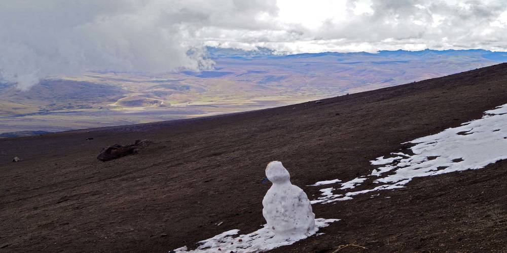
The glaciated summit of Cotopaxi is still shining in the sun at first. Unfortunately, it disappears completely into the clouds by the time we arrive in the national park. Gigantic fields of volcanic ash are criss-crossed by deep canyons. The bus takes us through a barren lunar landscape up to 4,500 metres.
I must still have a slight altitude knock from yesterday. Today I don’t make it to the hut at 4,850 metres via the very steep volcanic ash field. 200 metres below the mighty glacier, I sit down in the drifting snow and enjoy an extremely pleasant “clouds move and paint sun holes on a lunar landscape” trip.
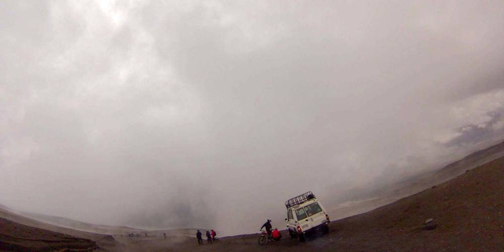
The highlight today is definitely the subsequent eleven-kilometre downhill mountain bike ride from 4,500 metres down to Lagnua de Limpiopungo at around 3,700 metres. Thanks to the rain, the piste is a single slippery washboard track through shreds of cloud – and the bikes are not really good. Mad Max meets Bladerunner. Together with a Kiwi, I arrive at the bottom first after a good 20 minutes. We look at each other and burst out laughing at the same moment. At home, I’m very lucky to catch a chipmunk while mountain biking. Here and today we are simply 100% mud monsters.



 Frank Woelky, born in 1973. Kitesurfer since 1998. Since 2006, I have been combining kitesurfing and web design on trips lasting several months off the beaten track.