

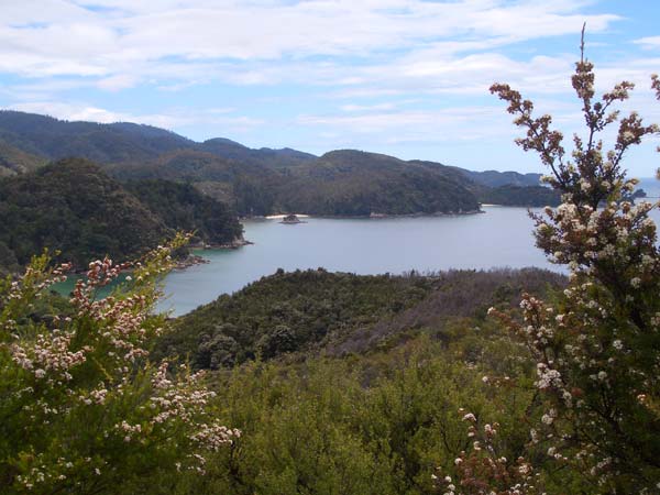
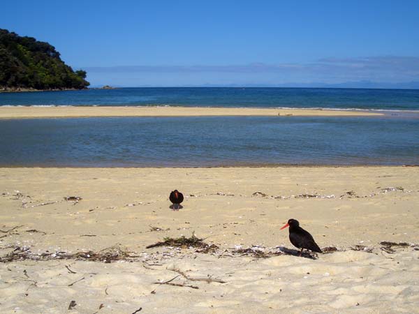
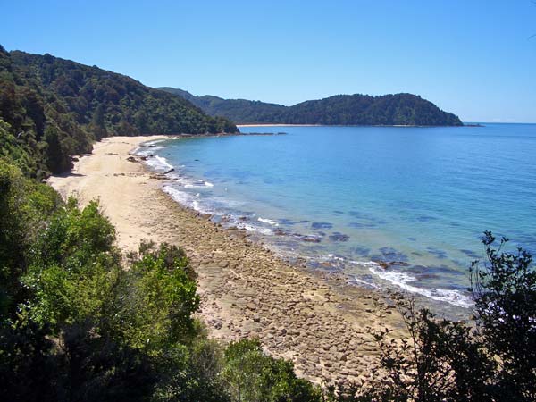
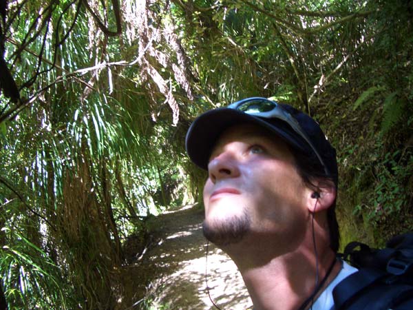
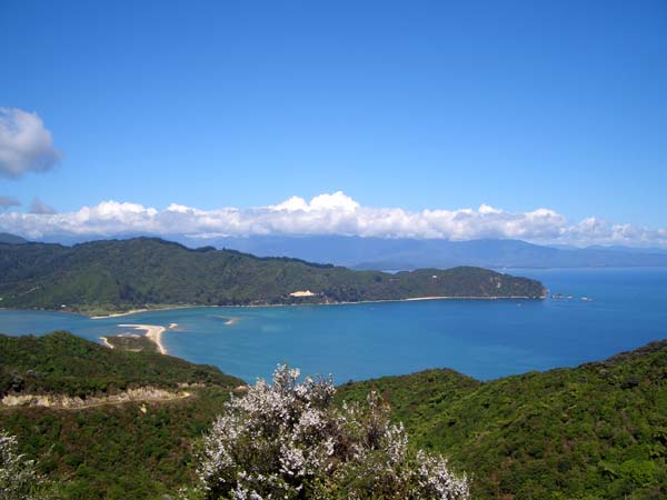
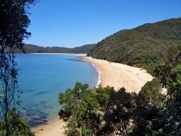
We set off at 9 o’clock in the morning. The Abel Tasman Coastal Track winds all the way through the hills along the coast. On the left is always dense jungle or forest, on the right the azure blue sea and golden yellow beach. Lots of boats and kayaks are touring around. Wild chickens keep crossing the path, sometimes with chicks. The southern part is rather unspectacular. Have I been to Fiji before? Have I seen the most beautiful beaches in the world?
The evening before, I even tore off the parts of the map I no longer needed to reduce my weight. My rucksack is still too heavy. My shoulders are really tense and I can’t tighten my waist belt because the buckle is wrong. A full 17kg is a big difference to my usual daypack.
After three hours I arrive in Anchorage Bay. Unfortunately Jack London isn’t there at the moment, and I haven’t found any gold either. At least it’s like Alaska in 1880. There’s a DOC hut and fresh water in Anchorage Bay. I consume as much food as I can, my luggage still needs to be lighter. After an hour, I continue on.
I’ve never been a hiker, and I’ve never walked this far. This track is my test for the Heaphy. The only thing accompanying me is my MP3 player. I finally have time to listen to all the music that friends have given me along the way. Thank you so much, Megan and Suhail! Your music has got me over some steep climbs.
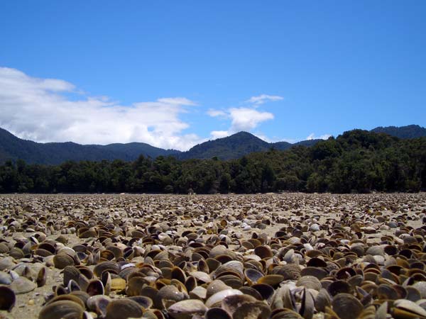
It’s low tide right now. That means I can take a short alternative route through a semi-dry inlet after Anchorage Bay. Millions of crabs crawl into the mudflats in my shadow. It smells amazingly of mussels. Right next to me, a heron goes off and feasts on them.
On the other side of the bay, the path winds its way through the low coastal mountains as usual. An hour later I arrive at Torrent Bay. The Kiwis even make a mockery of file sharing: there are no pirates or pirated copies in Torrent Bay. Let alone the internet. I ask around.
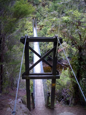
The last part of the path before Bark Bay is a steep uphill and downhill, a suspension bridge spans a wide river. Again and again small golden yellow beaches. I arrive in Bark Bay at around four o’clock after about 24 kilometres, grab a bunk in the DOC hut and take an ice-cold shower.
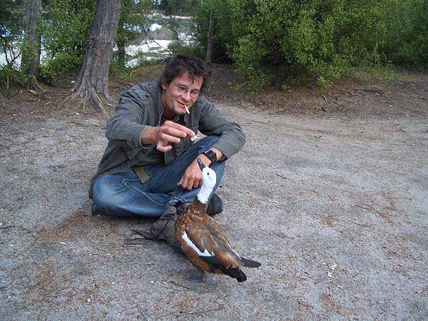
Donald Wildente insistently demands the tenth of the evening meal. His girth shows that he is very successful at this. He even lets himself be stroked for food. There are also many Germans in the DOC hut. I sleep badly at night, there are too many snorers sharing a room.
On the Abel Tasman Coastal Track, you have to plan some sections according to the tides. The bays run shallowly into the sea in long tidal flats. Crossings are often only necessary at low tide. I can therefore set off a little later today. The path continues through the jungle and after an hour and a half I reach the first beach with a tidal river crossing.
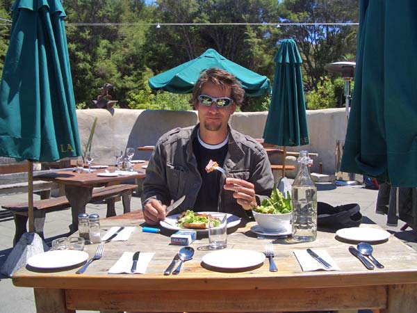
After two and a half hours I see a sign: Awaroa Lodge Cafe. It’s not on any of my maps. I take the detour and end up not in a cafe, but in a marvellous 5-star eco-lodge in a small bay. The tables are solid wooden planks. The place setting is complete. The best thing is always the unexpected.
Overjoyed, I treat myself to a delicious – and warm – multi-course lunch. The DOC huts don’t even have cookers. I’ve been living on muesli bars for two days. The restaurant prices are moderate for what’s on offer. And if it had been twice as expensive, I would still have gone for it. My laptop gets new juice and I get a good cappuccino.
I have to move on around two. The tides dictate a crossing of Awaroa Bay at around 2.40 pm. I would have liked to stop here for another day, but the Awaroa Hut was fully booked. I turn into a running machine, I can no longer feel my tense shoulders. The sweat is pouring off me. My right knee is crying out for a holiday. I tell it that this is a holiday and ask it to rest.
Over the next 10 kilometres, I pass one beautiful bay after another. Two Americans had given me the tip to go all the way to the end. Most hikers stop in Totaranui after four days. But only after that does the track get really lonely and the beaches become real dream beaches. What the Americans didn’t say: this is also by far the steepest climb.
I almost collapse on the last beach. The tour is tough. But I’m going to make it. Not somehow, but all inclusive. That also means making the detour to Separation Point today. This is where Tasman Bay merges into Golden Bay. The northern end of the national park.
It goes over some cliffs on the beach, then very steeply 200 metres up the last mountain. The descent to the sea follows at the back. First a path, then 50 metres of climbing over cliffs. A sign beforehand says: Take off your rucksack. Web designer, leave your laptop unguarded? Out of my cold dead hands! At the bottom, gannets and a small colony of sea lions are waiting for me. Nice, but I was 100 metres closer to the mating elephant seals in California.
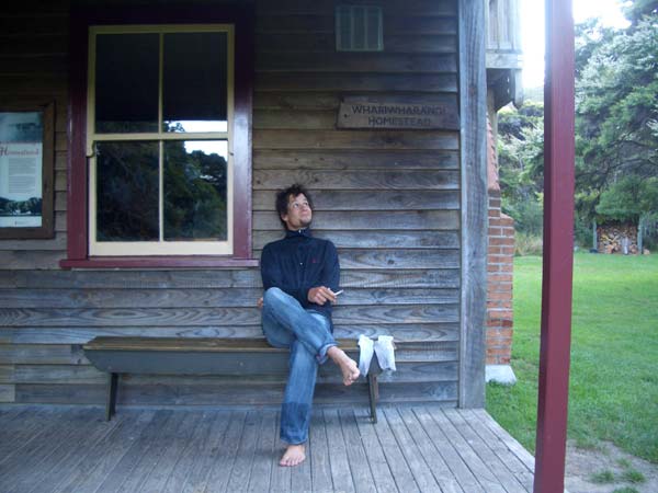
The rest of the way is tough. No water. The calf tendon under my right knee is now constantly screaming. It goes over a few more steep mountains into Whariwharangi Bay. This is where Abel Tasman landed first. The DOC hut is an old farmhouse from the 19th century. A British family has already lit the fireplace. Their children are running down my back, but nothing will help today. 30 kilometres. All done and dusted.
The last day is only half a day. It’s not far to the end of the national park. My leg is even worse. I can hardly walk any more. I’ve also found the reason for my tense shoulders: The seam on the waist strap of my rucksack has come undone. That must mean goodbye Heaphy. I hobble as quickly as possible 6 kilometres over the last mountain to Wainui Bay. I still miss the bus by 10 minutes. A nice Kiwi gives me a ride to Pohara. Couldn’t have walked a metre further.

 Frank Woelky, born in 1973. Kitesurfer since 1998. Since 2006, I have been combining kitesurfing and web design on trips lasting several months off the beaten track.