

What the Hajj to Mecca is to Muslims, the Hatsch on one of New Zealand’s ten Great Walks is to hikers. The enthusiasm of some travellers sometimes takes on religious traits: glowing eyes, catatonic drooling or sex with hiking socks worn for five days.
Today we are travelling on the Routeburn Track, one of New Zealand’s Ten Great Walks. The Routeburn Track is only 32 kilometres long, but crosses a very long mountain range. The journey by car from one end of the Routeburn Track to the other is over 350 kilometres. The bus costs just under $200, it takes at least a day and a half to stop, and we don’t want to double up.
We therefore decide to do a mega-hike on the Routeburn Track, the kind of hike that is guaranteed to make you feel religious, at least in your legs. In the last three weeks, I’ve probably been to the five most beautiful kite spots in the world, but there was no wind anywhere. It’s frustrating when tricks mean nothing to you but panoramic kiting means everything. I’m off to the Routeburn hatch to appease the wind gods.
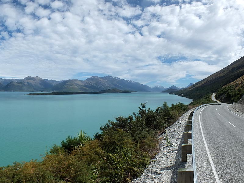
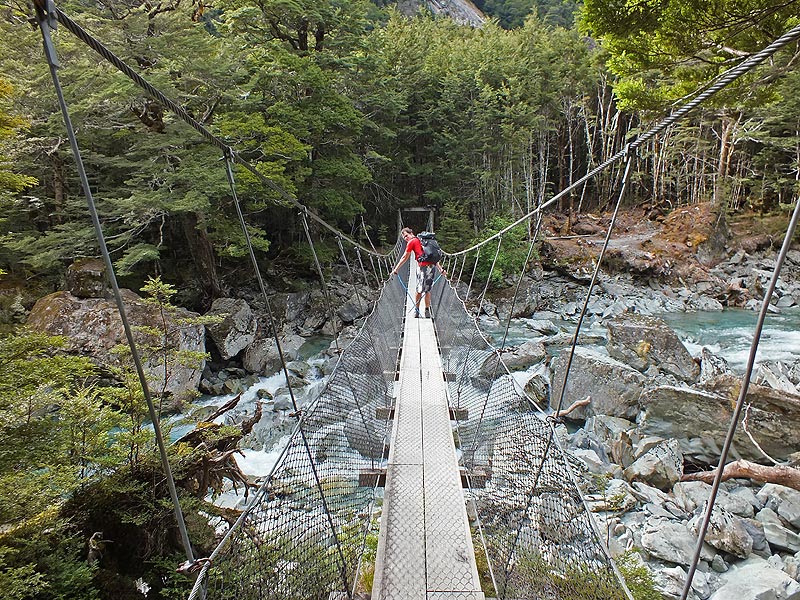
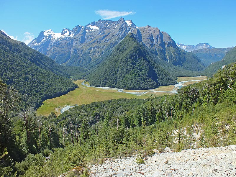
We start the Routeburn Track from Glenorchy, the last small settlement before the wilderness, situated at the northern end of Lake Wakatipu, which glows turquoise in the sun. After 20 kilometres of gravel road, we arrive at the start, trailing a long cloud of dust behind us. The Routeburn Track initially leads slightly uphill through dense forest. Several suspension bridges cross turquoise white water until we reach the first plateau. We leave the first DOC hut behind.
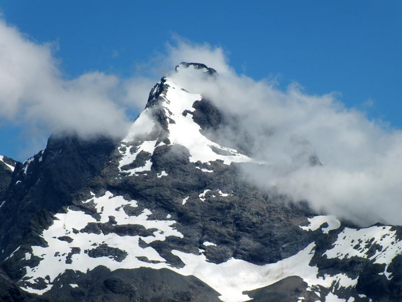
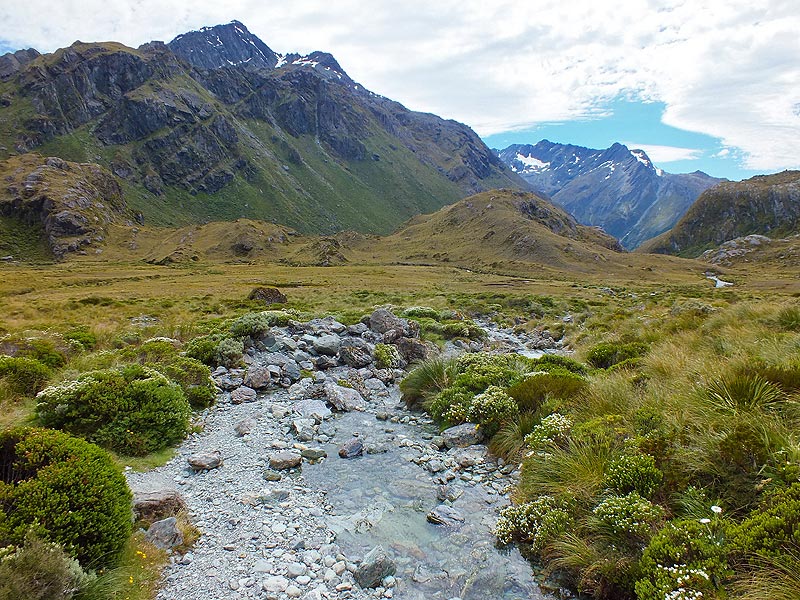
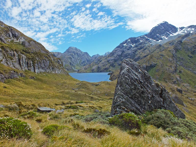
The path becomes steeper and continues along some vertical rock faces for a good two hours up to the DOC’s Routeburn Falls Hut. 48 places in the mattress camp at a hefty $54 per night finance half of the DOC’s annual war costs against the possums and dydimo. We steam our way further into the high alpine regions at a good speed and climb the last high valley. Black mountain giants, tussock grass, waterfalls and wind. Up here, at least 75% of all hikers are soaked by the rain. For us, only the sun has been shining for days.
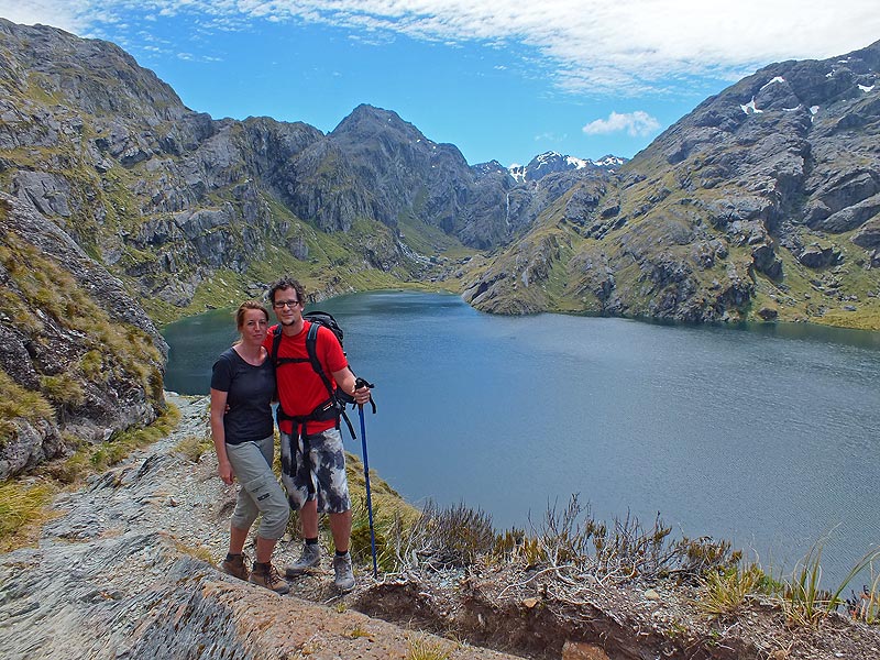
The tree line in the New Zealand Alps is just 1,000 metres due to the harsh climate. We hike on to the highest point of the Routeburn Track. My right thigh breathes a quiet “hallelujah”. Harris Saddle lies at 1,400 metres above the lake of the same name, in which the snow-covered mountain peaks are reflected. We climb down to the other side to Harris Shelter Hut and see the entrance to Fjordland. This view would easily have taken six hours by car. No day trip on the Routeburn Track goes any further. Most hikers make their first stop of the day three hours further down at the Routeburn Falls Hut.
The way back is easy at first. From the last high valley, however, it stretches into infinity. Our legs become chewing gum sputtering prayers. The religious plan definitely works. When we reach the bottom, after a good nine hours of hiking, we have covered 25 km and 1,500 metres in altitude. That’s more than three quarters of the entire Routeburn track, which is officially advertised as taking three to four days. Wind gods! On foot! Hatsch 276, my part is done.


 Frank Woelky, born in 1973. Kitesurfer since 1998. Since 2006, I have been combining kitesurfing and web design on trips lasting several months off the beaten track.